
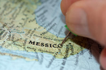
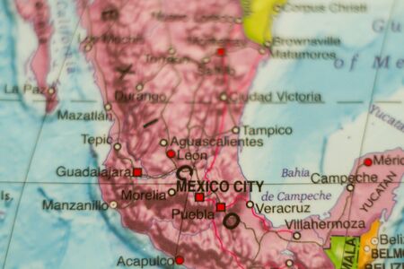
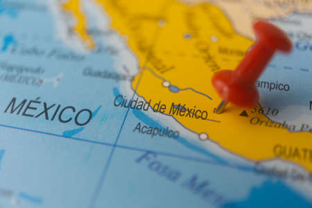
Macro photography of Mexico city into political mexican map with important cities
Коллекция по умолчанию
Коллекция по умолчанию
Создать новую
Map of mexico highlighting key cities and regions travel informative aerial view geography
Коллекция по умолчанию
Коллекция по умолчанию
Создать новую
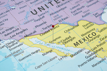
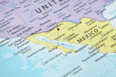
Close up to a Guaymas city with a red pin needle into Mexico country political map
Коллекция по умолчанию
Коллекция по умолчанию
Создать новую
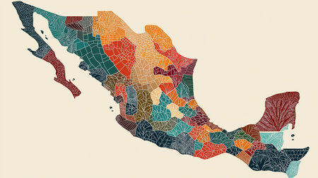
Detailed and colorful artistic depiction of the Mexico map. This unique mosaic style portrays the country's geography with vibrant colors and intricate patterns. It's perfect for travel and cultural
Коллекция по умолчанию
Коллекция по умолчанию
Создать новую
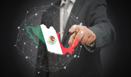
Man hand with pin pointing to the map of mexico
Коллекция по умолчанию
Коллекция по умолчанию
Создать новую
Mexico map - highly detailed vector illustration
Коллекция по умолчанию
Коллекция по умолчанию
Создать новую
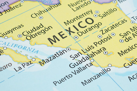
View of Mazatlan, City in Sinaloa, Mexico, on a geographical map of America, marked with red pushpin
Коллекция по умолчанию
Коллекция по умолчанию
Создать новую

A map of Mexico displays various regions and landmarks with a purple pushpin marking a specific location. Bright colors highlight major cities and geographical features.
Коллекция по умолчанию
Коллекция по умолчанию
Создать новую
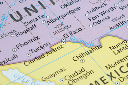
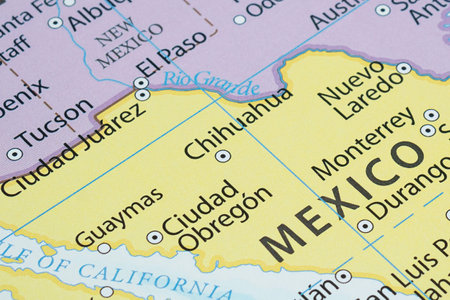
macro photography of Ciudad Juarez city into political mexican map with important cities
Коллекция по умолчанию
Коллекция по умолчанию
Создать новую
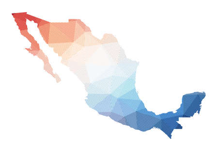
Map of Mexico. Low poly illustration of the country. Geometric design with stripes. Technology, internet, network concept. Vector illustration.
Коллекция по умолчанию
Коллекция по умолчанию
Создать новую
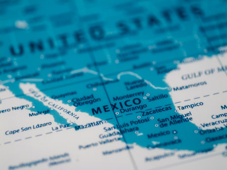
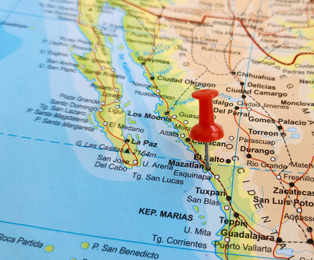
Macro photography of Mazatlan city into political mexican map with important cities
Коллекция по умолчанию
Коллекция по умолчанию
Создать новую
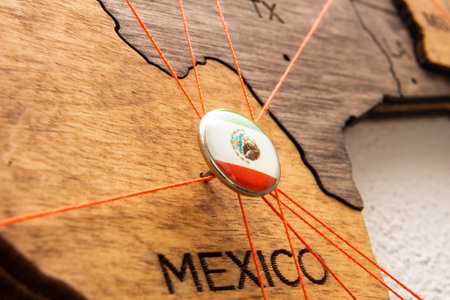
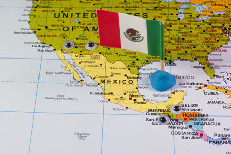
Mexico flag pin and red thread for traveling and planning trips. Planning of logistics routes or spheres of influence in geopolitics
Коллекция по умолчанию
Коллекция по умолчанию
Создать новую
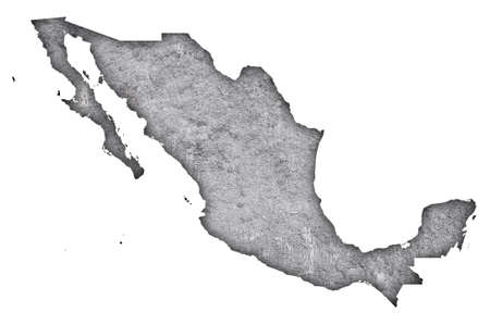
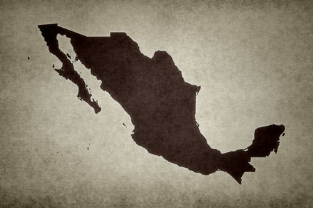
Map of Mexico on weathered concrete
Коллекция по умолчанию
Коллекция по умолчанию
Создать новую
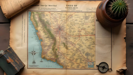
Old map with cactus and compass on wooden background. Travel concept
Коллекция по умолчанию
Коллекция по умолчанию
Создать новую
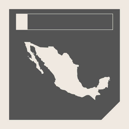
Mexico map button in responsive flat web design map button isolated with clipping path.
Коллекция по умолчанию
Коллекция по умолчанию
Создать новую
Close up to a Phoenix city with a red pin needle into United States of America country political map
Коллекция по умолчанию
Коллекция по умолчанию
Создать новую
Mexico, map with flag, isolated on white
Коллекция по умолчанию
Коллекция по умолчанию
Создать новую
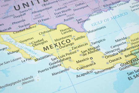
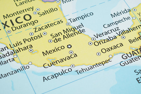
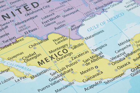
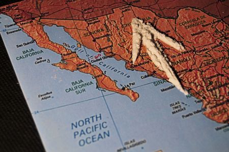
Close up to a Mexico political map with country borders and most important cities
Коллекция по умолчанию
Коллекция по умолчанию
Создать новую
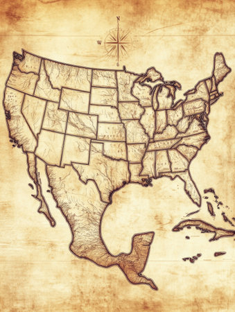
Vintage style map showcases southern United States with detailed state boundaries and topographical features, emphasizing geographic elements.
Коллекция по умолчанию
Коллекция по умолчанию
Создать новую
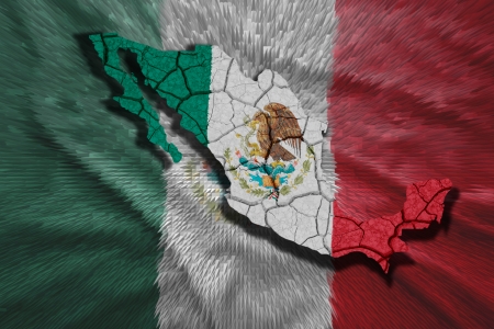
Flying abstract flag Mexico in the form of a map
Коллекция по умолчанию
Коллекция по умолчанию
Создать новую
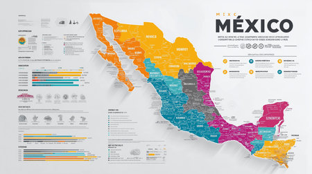
Detailed mexico map infographic illustrating state divisions, key data points, and regional information. This infographic visualizes geography, economy, and demography of mexico with colorful and
Коллекция по умолчанию
Коллекция по умолчанию
Создать новую
Macro photography of Chihuahua city into political mexican map with important cities
Коллекция по умолчанию
Коллекция по умолчанию
Создать новую
Explore a detailed Mexico map, showcasing a vibrant topographical relief with culturally rich Mexican elements. This decorative artwork features iconic landmarks and intricate designs. Discover the
Коллекция по умолчанию
Коллекция по умолчанию
Создать новую
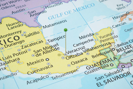
Close up to a Veracruz city with a green pin needle into Mexico country political map
Коллекция по умолчанию
Коллекция по умолчанию
Создать новую
Mexico on the World Map with the country's national flag flying.
Коллекция по умолчанию
Коллекция по умолчанию
Создать новую
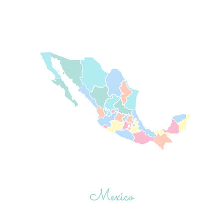
Mexico region map: colorful with white outline. Detailed map of Mexico regions. Vector illustration.
Коллекция по умолчанию
Коллекция по умолчанию
Создать новую
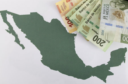
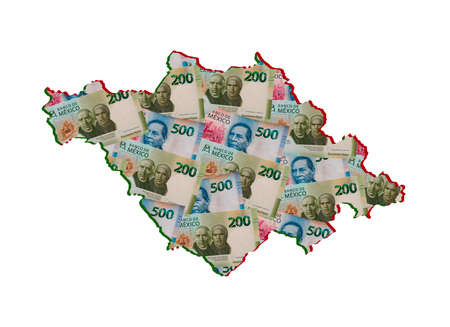
Mexican banknotes of different denomination and green map of the territory of Mexico
Коллекция по умолчанию
Коллекция по умолчанию
Создать новую
Map of Mexico. Colourful watercolor Mexico map. Quaint country vector illustration.
Коллекция по умолчанию
Коллекция по умолчанию
Создать новую
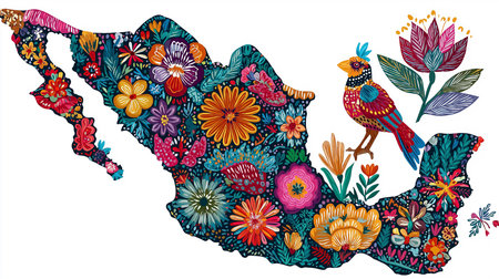
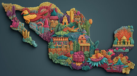
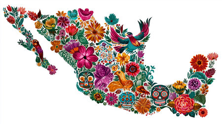
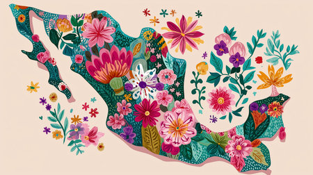
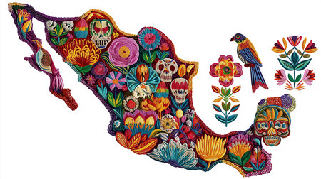
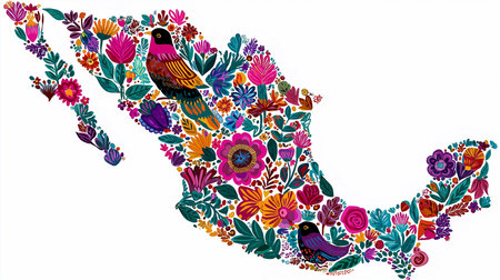
A beautifully crafted illustration of the Mexico map, adorned with a vibrant floral design, a colorful bird, and botanical elements. This unique artwork captures the essence of Mexican culture with
Коллекция по умолчанию
Коллекция по умолчанию
Создать новую
Close up to a Acapulco city with a white pin needle into Mexico country political map
Коллекция по умолчанию
Коллекция по умолчанию
Создать новую
Vibrant floral illustration of the Mexico map, adorned with colorful flowers, birds and decorative skulls. Folk art inspired design perfect for cultural projects. Mexico map outline with festive
Коллекция по умолчанию
Коллекция по умолчанию
Создать новую
pin flag placed selective at Honduras map. - Economic and business concept.
Коллекция по умолчанию
Коллекция по умолчанию
Создать новую
Close up to a Tucson city with a red pin needle into United States of America country political map
Коллекция по умолчанию
Коллекция по умолчанию
Создать новую

Map of Mexico with flag colors. 3d render illustration.
Коллекция по умолчанию
Коллекция по умолчанию
Создать новую
Mexico map vector
Коллекция по умолчанию
Коллекция по умолчанию
Создать новую
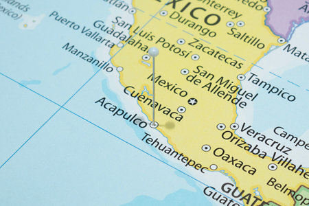
Close up to a Cuernavaca city with a green pin needle into Mexico country political map
Коллекция по умолчанию
Коллекция по умолчанию
Создать новую

Vector hand drawn stylized map of Mexico. Travel illustration. The United Mexican States geography illustration. latin america map elements
Коллекция по умолчанию
Коллекция по умолчанию
Создать новую
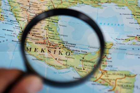
A woman's hand holding a magnifying glass looking at Mexico, Country in North America on a geographic map
Коллекция по умолчанию
Коллекция по умолчанию
Создать новую
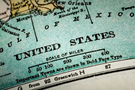
October 7th, 2015 - Montreal, Canada. Old 1940s Webster's Dictionary United States of America Map Close-up
Коллекция по умолчанию
Коллекция по умолчанию
Создать новую
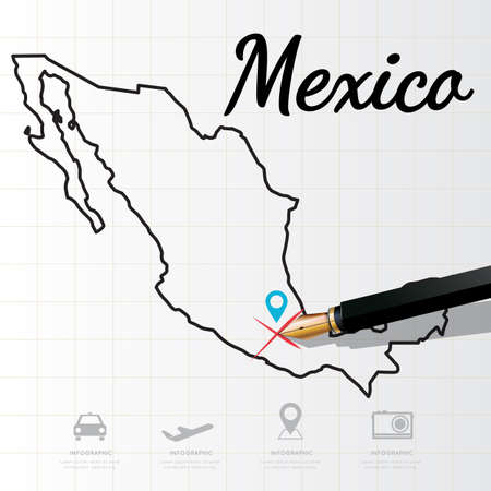
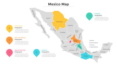
Mexico map Infographic
Коллекция по умолчанию
Коллекция по умолчанию
Создать новую
Close up to a Mulege city with a red pin needle into Mexico country political map
Коллекция по умолчанию
Коллекция по умолчанию
Создать новую
Close up to a Saltillo city with a white pin needle into Mexico country political map
Коллекция по умолчанию
Коллекция по умолчанию
Создать новую
map Mexico
Коллекция по умолчанию
Коллекция по умолчанию
Создать новую
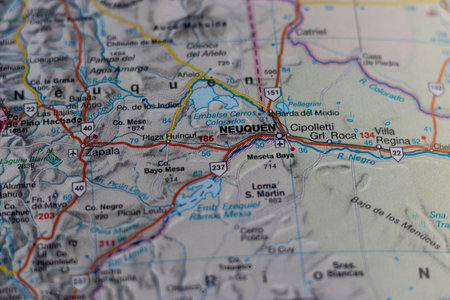
Neuquen, Argentina, on a road map
Коллекция по умолчанию
Коллекция по умолчанию
Создать новую
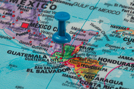
A blue pin is positioned on a detailed map, indicating the location of Guatemala City amidst the surrounding Central American countries and landmarks.
Коллекция по умолчанию
Коллекция по умолчанию
Создать новую

Gulf of mexico
Коллекция по умолчанию
Коллекция по умолчанию
Создать новую

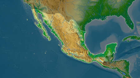
Mexico area enlarged and glowed on a darkened background of its surroundings. Relief map
Коллекция по умолчанию
Коллекция по умолчанию
Создать новую
world map with north american continent, mexico in focus
Коллекция по умолчанию
Коллекция по умолчанию
Создать новую
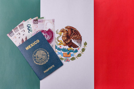
Mexican passport for traveling, flying and doing business. Mexico document, id for crossing the border
Коллекция по умолчанию
Коллекция по умолчанию
Создать новую
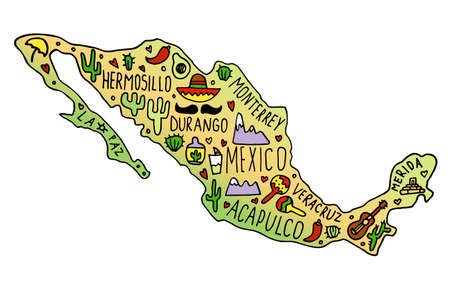
Colored Hand drawn doodle Mexico map. Mexican city names lettering and cartoon landmarks,
Коллекция по умолчанию
Коллекция по умолчанию
Создать новую
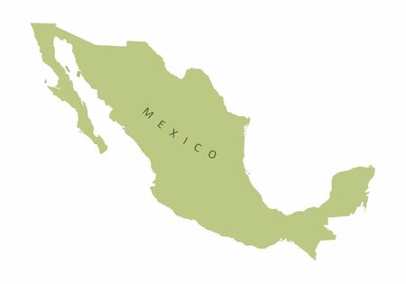
Mexico colorful map silhouette on white background with label
Коллекция по умолчанию
Коллекция по умолчанию
Создать новую
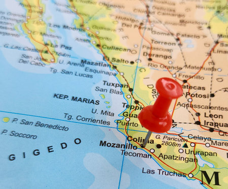
View of Manzanillo, is the most populous city in the Mexican state of Colima, on a geographical map of America, marked with red pushpin
Коллекция по умолчанию
Коллекция по умолчанию
Создать новую
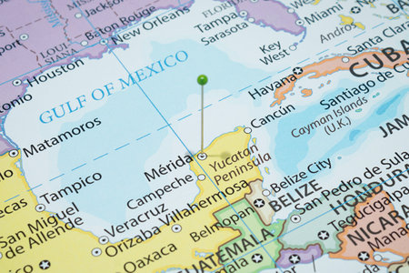
Close up to a Merida city with a green pin needle into Mexico country political map
Коллекция по умолчанию
Коллекция по умолчанию
Создать новую
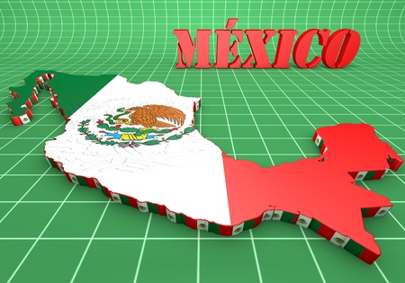
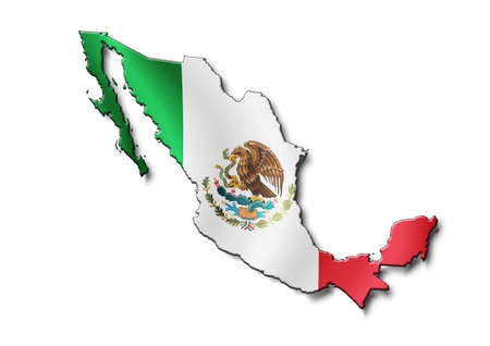
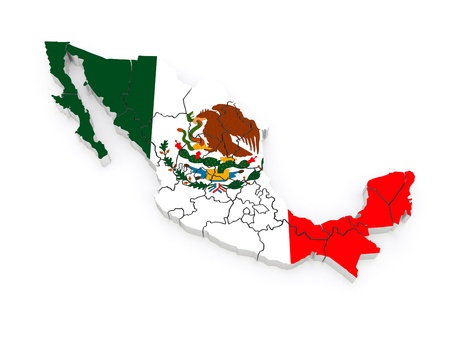
3d map illustration of Mexico with flag and coat of arms
Коллекция по умолчанию
Коллекция по умолчанию
Создать новую
A political map where all the eyes of the neighbors are on Mexico
Коллекция по умолчанию
Коллекция по умолчанию
Создать новую

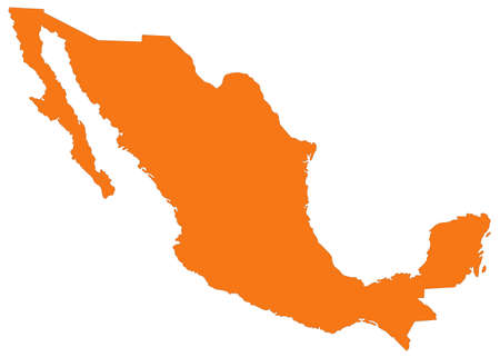
Map of Mexico and nearby countries, Mexico is highlighted in orange.
Коллекция по умолчанию
Коллекция по умолчанию
Создать новую
Cocaine Pointing To America
Коллекция по умолчанию
Коллекция по умолчанию
Создать новую

Vector hand drawn stylized map of Mexico and neighboring countries. Travel illustration. The United Mexican States geography illustration. latin america map elements
Коллекция по умолчанию
Коллекция по умолчанию
Создать новую
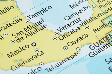
Macro photography of Orizaba city into political mexican map with important cities
Коллекция по умолчанию
Коллекция по умолчанию
Создать новую
Artistic and vibrant floral illustration of a Mexico map. Beautiful botanical design showcases the Mexican territory filled with colorful flowers. A delightful artwork combining geography and
Коллекция по умолчанию
Коллекция по умолчанию
Создать новую
Cocaine Exported From Mexico
Коллекция по умолчанию
Коллекция по умолчанию
Создать новую
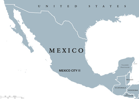
Mexico political map with capital Mexico City and national borders. United Mexican States, a federal republic in North America. Gray illustration with English labeling on white background. Vector.
Коллекция по умолчанию
Коллекция по умолчанию
Создать новую
Mexico area map in the Azimuthal Equidistant projection. color physical map. Full composition of rasters without borders
Коллекция по умолчанию
Коллекция по умолчанию
Создать новую
New Mexico map with red pin on yellow background. Vector illustration.
Коллекция по умолчанию
Коллекция по умолчанию
Создать новую
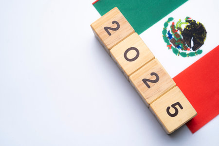
2025, Mexico, Mexico flag with date block, Concept, Important events for Mexico in the new year, election, economy, social activities, central bank, Mexico foreign policy
Коллекция по умолчанию
Коллекция по умолчанию
Создать новую
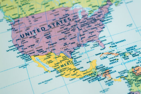
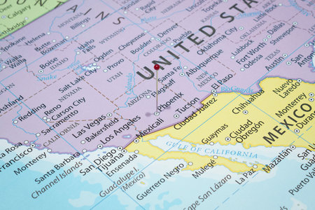
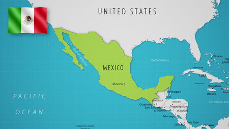
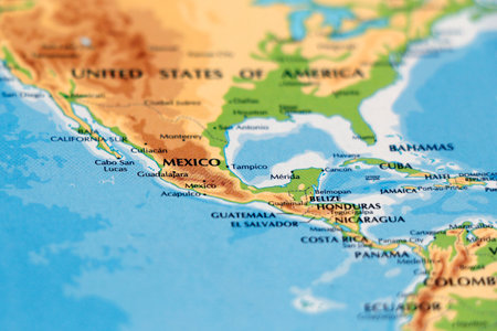
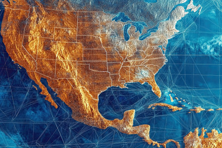
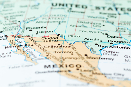
A detailed exploration of the United States and Mexico map showcasing geographical features.
Коллекция по умолчанию
Коллекция по умолчанию
Создать новую
mexican banknotes forming and the map of Tlaxcala State and white background
Коллекция по умолчанию
Коллекция по умолчанию
Создать новую
This vibrant image showcases a colorful Mexico map adorned with flowers and skulls. A beautiful folkloric decoration captures the essence of Mexican culture and tradition. This artwork features a
Коллекция по умолчанию
Коллекция по умолчанию
Создать новую
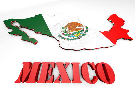
3d map illustration of Mexico with flag and coat of arms
Коллекция по умолчанию
Коллекция по умолчанию
Создать новую
vector illustration of Mexico map
Коллекция по умолчанию
Коллекция по умолчанию
Создать новую
Three-dimensional map of Mexico. 3d
Коллекция по умолчанию
Коллекция по умолчанию
Создать новую
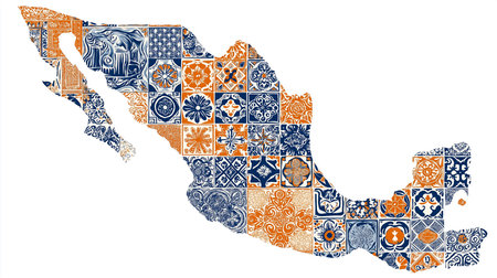
Explore the artistic beauty of a Mexico map creatively composed with talavera tile designs. This vibrant mosaic features a pattern of intricate blue and orange tiles, evoking a rich cultural
Коллекция по умолчанию
Коллекция по умолчанию
Создать новую
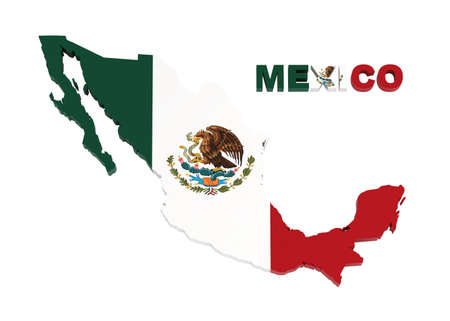
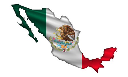
Mexico - country shape and flag - 3D illustration
Коллекция по умолчанию
Коллекция по умолчанию
Создать новую
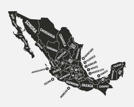
Mexico map. Poster map of Mexico with state names. Mexican background. Vector illustration
Коллекция по умолчанию
Коллекция по умолчанию
Создать новую
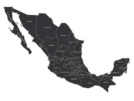
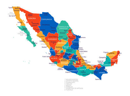
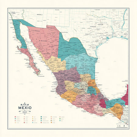
Grey political map of Mexico. Administrative divisions - states. Simple flat vector map with labels.
Коллекция по умолчанию
Коллекция по умолчанию
Создать новую
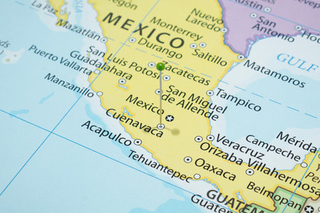
Beautiful photo of a map of Mexico and the capital Mexico city .
Коллекция по умолчанию
Коллекция по умолчанию
Создать новую
United Mexican States
Коллекция по умолчанию
Коллекция по умолчанию
Создать новую
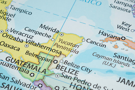
Macro photography of Yucatan Peninsula region in north america with country political map
Коллекция по умолчанию
Коллекция по умолчанию
Создать новую
Grunge map of Mexico printed on an old paper.
Коллекция по умолчанию
Коллекция по умолчанию
Создать новую

Montessori map of North America made of wood with text label in a school.
Коллекция по умолчанию
Коллекция по умолчанию
Создать новую
Mexico Political Map - Vintage Detailed Vector Illustration. EPS10. vintage map of mexico
Коллекция по умолчанию
Коллекция по умолчанию
Создать новую

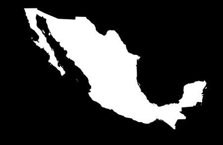
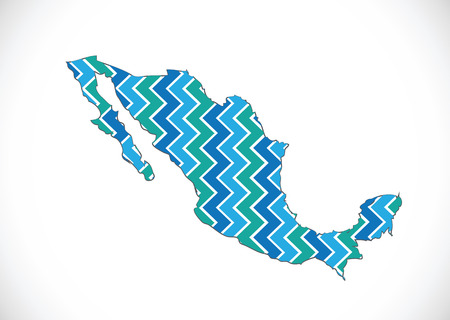
Mexico Map - Vector Solid Contour. Illustration
Коллекция по умолчанию
Коллекция по умолчанию
Создать новую
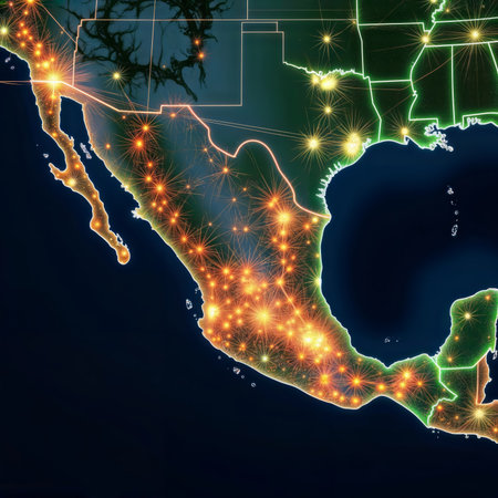
Mexico Illuminated. A stylized map of Mexico with glowing lines representing roads and cities.
Коллекция по умолчанию
Коллекция по умолчанию
Создать новую
A vibrant portrayal of the United States and Mexico from space, illuminated with neon lights, reflects urban cultural influences.
Коллекция по умолчанию
Коллекция по умолчанию
Создать новую
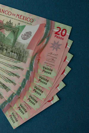
Several Mexican 20 peso bills arranged on a blue background, with space for text
Коллекция по умолчанию
Коллекция по умолчанию
Создать новую
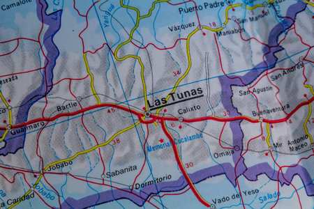
Las Tunas, Cuba, on a road map
Коллекция по умолчанию
Коллекция по умолчанию
Создать новую
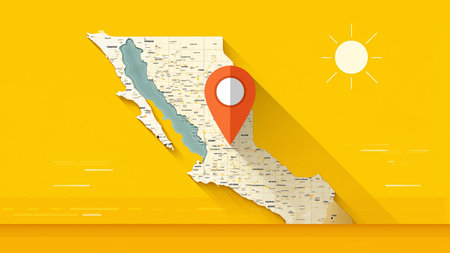
mexico city marked on the map with a red pin, travel destination, planning. out of focus background
Коллекция по умолчанию
Коллекция по умолчанию
Создать новую
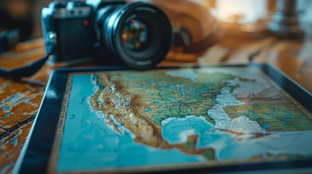
A digital tablet showcases a detailed map, accompanied by a camera, ready for planning adventures and capturing travel memories.
Коллекция по умолчанию
Коллекция по умолчанию
Создать новую
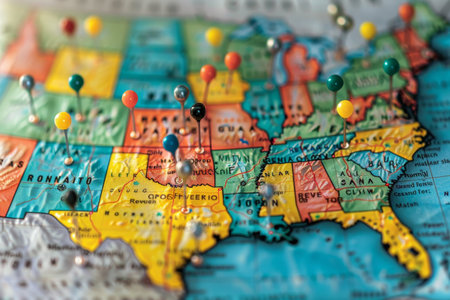
Detailed usa map pinpointing key election areas for analytical thorough review and in depth analysis
Коллекция по умолчанию
Коллекция по умолчанию
Создать новую
A vibrant mexico map depicted through a detailed floral arrangement and birds illustration. This colorful and artistic design showcases a map silhouette filled with flowers and avian elements. This
Коллекция по умолчанию
Коллекция по умолчанию
Создать новую

Santiago, Chile, on a road map
Коллекция по умолчанию
Коллекция по умолчанию
Создать новую
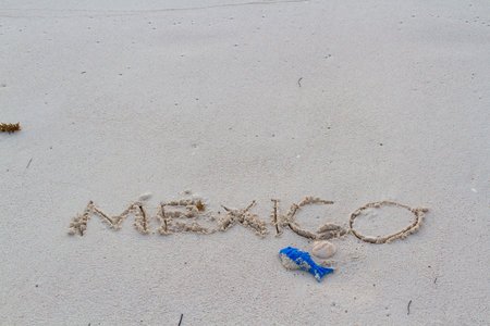
Mexico written on the beach with wave.
Коллекция по умолчанию
Коллекция по умолчанию
Создать новую

Vector blank map of Mexico with regions or or states and administrative divisions. Editable and clearly labeled layers.
Коллекция по умолчанию
Коллекция по умолчанию
Создать новую
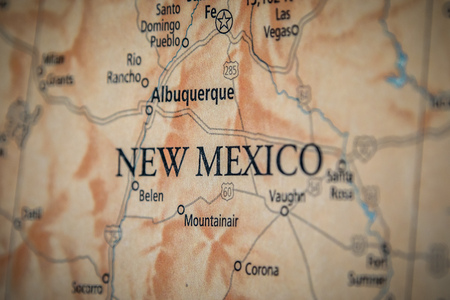
Closeup Selective Focus Of New Mexico State On A Geographical And Political State Map Of The USA.
Коллекция по умолчанию
Коллекция по умолчанию
Создать новую
map of Mexico Decorative idea design
Коллекция по умолчанию
Коллекция по умолчанию
Создать новую

Коллекция по умолчанию
Коллекция по умолчанию
Создать новую
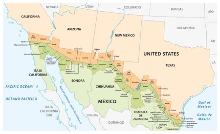
Vector map of the border districts in the United States and Mexico along the border
Коллекция по умолчанию
Коллекция по умолчанию
Создать новую

usa close up on map, america country.
Коллекция по умолчанию
Коллекция по умолчанию
Создать новую
Map of Mexico in National flag colors
Коллекция по умолчанию
Коллекция по умолчанию
Создать новую
Concept image using a map focusing on the border between the USA and Mexico
Коллекция по умолчанию
Коллекция по умолчанию
Создать новую
Legion-Media
Создайте свои проекты на основе качественных стоковых фотографий и видео.


Copyright © Legion-Media.